Digitale kaarten: verschil tussen versies
Naar navigatie springen
Naar zoeken springen
Geen bewerkingssamenvatting |
|||
| (17 tussenliggende versies door 2 gebruikers niet weergegeven) | |||
| Regel 3: | Regel 3: | ||
{| class="wikitable" | {| class="wikitable" | ||
| Stentec | | Naam || Stentec || ANWB | ||
|- | |- | ||
| | |Akkrum || [[Bestand:Ste_2.png]] || [[Bestand:Anw_4.png]] | ||
|- | |- | ||
| | |Overzicht || [[Bestand:Ste_1.png]] || [[Bestand:Anw_3.png]] | ||
|- | |- | ||
| Android | | Beschrijving || Gedetailleerde offline vaarkaart van de Friese Meren || ANWB waterkaart | ||
|- | |||
|PC || Gratis via [http://shop-nl.stentec.com/7267.html] || | |||
|- | |||
|Android || Gratis via [https://play.google.com/store/apps/details?id=com.stentec.dkwregio_fm14] || | |||
|- | |||
|Iphone || || | |||
|} | |} | ||
=IJsselmeer en Waddenzee= | =IJsselmeer= | ||
{| class="wikitable" | |||
|Naam || RWS ENC || Navionics || OpenSeaMap | |||
|- | |||
|Enkhuizen || [[Bestand:Enc_3.png]] || [[Bestand:Nav_3.png]] || [[Bestand:Wit_0.png]] | |||
|- | |||
|Overzicht || [[Bestand:Enc_4.png]] || [[Bestand:Nav_4.png]] || [[Bestand:Wit_0.png]] | |||
|- | |||
|Beschrijving || || || | |||
|- | |||
|PC || Gratis via [http://www.vaarweginformatie.nl/fdd/main/infra/enc vaarweginfomatie] en [http://opencpn.org/ocpn/ OpenCPN] || Gratis via http://webapp.navionics.com/ || Gratis via http://map.openseamap.org/ | |||
|- | |||
|Android || || || | |||
|- | |||
| IPhone || || || | |||
|} | |||
{| class="wikitable" | |||
|Naam || Freie Tonne || Stentec / 1800 || Stentec Vaarkaart | |||
|- | |||
|Enkhuizen || [[Bestand:Wit_0.png]] || [[Bestand:Wit_0.png]] || [[Bestand:Wit_0.png]] | |||
|- | |||
|Overzicht || [[Bestand:Wit_0.png]] || [[Bestand:Wit_0.png]] || [[Bestand:Wit_0.png]] | |||
|- | |||
|Beschrijving || || http://www.stentec.com/nl/kaarten/dkw-1800-serie || http://www.stentec.com/nl/kaarten/dkw-vaarkaart-nederland. | |||
|- | |||
|PC || Gratis via http://www.freietonne.de/ || || | |||
|- | |||
|Android || || || | |||
|- | |||
| IPhone || || || | |||
|} | |||
{| class="wikitable" | |||
|Naam || ANWB || Vaarkaart || NV Verlag | |||
|- | |||
|Enkhuizen || [[Bestand:Anw_1.png]] || [[Bestand:Vaarkaart-app1.png|400px]] || [[Bestand:Wit_0.png]] | |||
|- | |||
|Overzicht || [[Bestand:Anw_2.png]] || [[Bestand:Vaarkaart-app2.png|400px]] || [[Bestand:Wit_0.png]] | |||
|- | |||
|Beschrijving || || || | |||
|- | |||
|PC || http://www.promanent.com/waterkaart/ || || | |||
|- | |||
|Android || Betaald per week, maand of jaar in de [https://play.google.com/store/apps/details?id=nl.anwb.android.anwbwaterkaarten Play Store] || Gratis in de [https://play.google.com/store/apps/details?id=com.vaarkaartnederland Play Store] || | |||
|- | |||
| IPhone || Betaald per week (€4,99), maand (€9,99) of jaar (€38,99) <br />in de [https://itunes.apple.com/nl/app/waterkaarten/id421372355?mt=8 App Store] || Gratis voor online gebruik. <br/>Kaarten downloaden voor offline gebruik kost €5,99 per jaar <br/>[https://itunes.apple.com/app/id938705496 App Store] || | |||
|} | |||
{| class="wikitable" | |||
|Naam || RWS diepte ijsselmeergebied || iSailor || SeaMap | |||
|- | |||
|Enkhuizen || [[Bestand:Diepte_ijsselmeer1.png|400px]] || [[Bestand:ISailor1.png|400px]] || [[Bestand:See_3.png]] | |||
|- | |||
|Overzicht || [[Bestand:Diepte_ijsselmeer2.png|400px]] || [[Bestand:ISailor2.png|400px]] || [[Bestand:See_4.png]] | |||
|- | |||
|Beschrijving || Kaartlaag "ijsselmeergebied diepte 2013 (cm NAP)" toevoegen <br />In andere programma's als [http://en.wikipedia.org/wiki/Web_Map_Service Web Map Service]: <br />http://geoservices.rws.nl/ijsselmeergebied_diepte|| App is gratis, maar de kaartensets (bijv. Nederland+België) <br /> kosten €24,99 incl. onbeperkte updates || | |||
|- | |||
|PC || Gratis via [http://www.rijkswaterstaat.nl/apps/geoservices/mapviewer2i/ RWS Mapviewer] of als WMS-laag in [http://qgis.org/en/site/ QGIS] || || | |||
|- | |||
|Android || Voeg via de [http://geoservices.rws.nl/ijsselmeergebied_diepte? WMS] toe aan [https://play.google.com/store/apps/details?id=menion.android.locus Locus Map Free]|| || | |||
|- | |||
| IPhone || ||http://isailor.us/folios/index.htm#NSEA2000|| | |||
|} | |||
=Waddenzee= | |||
{| class="wikitable" | {| class="wikitable" | ||
|Naam || RWS ENC || Navionics || OpenSeaMap | |Naam || RWS ENC || Navionics || OpenSeaMap | ||
| Regel 30: | Regel 101: | ||
{| class="wikitable" | {| class="wikitable" | ||
|Naam || Freie Tonne || Stentec / 1800 || | |Naam || Freie Tonne || Stentec / 1800 || NV Verlag | ||
|- | |- | ||
|Haven Vlieland || [[Bestand:Fre_1.png]] || [[Bestand:Wit_0.png]] || [[Bestand:Wit_0.png]] | |Haven Vlieland || [[Bestand:Fre_1.png]] || [[Bestand:Wit_0.png]] || [[Bestand:Wit_0.png]] | ||
| Regel 36: | Regel 107: | ||
|Harlingen - Vlieland || [[Bestand:Fre_2.png]] || [[Bestand:Wit_0.png]] || [[Bestand:Wit_0.png]] | |Harlingen - Vlieland || [[Bestand:Fre_2.png]] || [[Bestand:Wit_0.png]] || [[Bestand:Wit_0.png]] | ||
|- | |- | ||
|Beschrijving || || [http://www.stentec.com/nl/kaarten/dkw-1800-serie] || | |Beschrijving || || [http://www.stentec.com/nl/kaarten/dkw-1800-serie] || | ||
|- | |- | ||
|PC || Gratis via [http://www.freietonne.de/] || || | |PC || Gratis via [http://www.freietonne.de/] || || | ||
| Regel 44: | Regel 115: | ||
| IPhone || || || | | IPhone || || || | ||
|} | |} | ||
{| class="wikitable" | {| class="wikitable" | ||
|Naam || | |Naam || RWS Laseraltimetrie hoogte platen || Vaarkaart || SeaMap | ||
|- | |- | ||
|Haven Vlieland || [[Bestand: | |Haven Vlieland || [[Bestand:Hoogte_platen1.png|400px]] || [[Bestand:Vaa_3.png]] || [[Bestand:See_1.png]] | ||
|- | |- | ||
|Harlingen - Vlieland || [[Bestand: | |Harlingen - Vlieland || [[Bestand:Hoogte_platen2.png]] || [[Bestand:Vaa_4.png]] || [[Bestand:See_2.png]] | ||
|- | |- | ||
|Beschrijving || || || | |Beschrijving || Kaartlagen hoogte_platen/* toevoegen <br />In andere programma's als [http://en.wikipedia.org/wiki/Web_Map_Service Web Map Service]: <br />http://geoservices.rws.nl/hoogte_platen|| || | ||
|- | |- | ||
|PC || [http://www. | |PC || Gratis via [http://www.rws.nl/apps/geoservices/mapviewer2i/ RWS Mapviewer] of als WMS-laag in [http://qgis.org/en/site/ QGIS] || || | ||
|- | |- | ||
|Android || | |Android || Voeg via de [http://geoservices.rws.nl/hoogte_platen? WMS] toe aan [https://play.google.com/store/apps/details?id=menion.android.locus Locus Map Free]|| || | ||
|- | |- | ||
| IPhone || | | IPhone || || || | ||
|} | |} | ||
Huidige versie van 8 apr 2015 19:29
Friesland
Voor Friesland zijn beschikbaar:
| Naam | Stentec | ANWB |
| Akkrum | 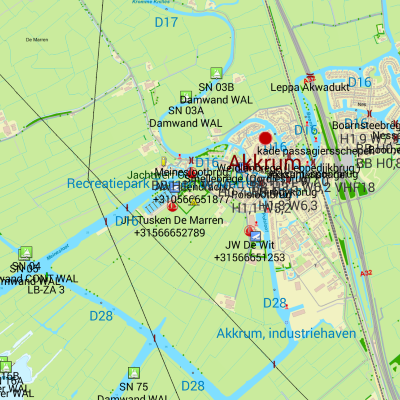 |
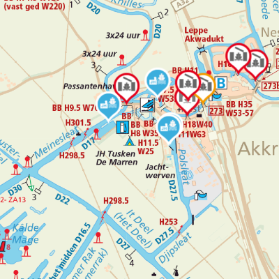
|
| Overzicht | 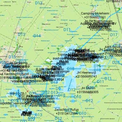 |
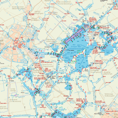
|
| Beschrijving | Gedetailleerde offline vaarkaart van de Friese Meren | ANWB waterkaart |
| PC | Gratis via [1] | |
| Android | Gratis via [2] | |
| Iphone |
IJsselmeer
| Naam | RWS ENC | Navionics | OpenSeaMap |
| Enkhuizen | 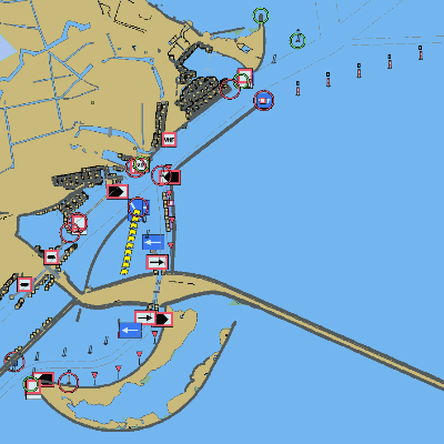 |
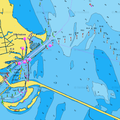 |

|
| Overzicht | 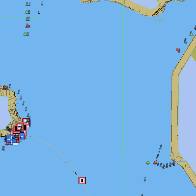 |
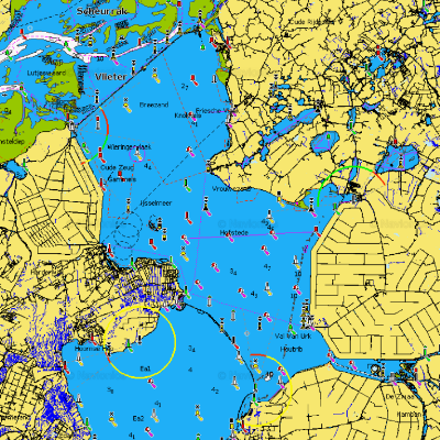 |

|
| Beschrijving | |||
| PC | Gratis via vaarweginfomatie en OpenCPN | Gratis via http://webapp.navionics.com/ | Gratis via http://map.openseamap.org/ |
| Android | |||
| IPhone |
| Naam | Freie Tonne | Stentec / 1800 | Stentec Vaarkaart |
| Enkhuizen |  |
 |

|
| Overzicht |  |
 |

|
| Beschrijving | http://www.stentec.com/nl/kaarten/dkw-1800-serie | http://www.stentec.com/nl/kaarten/dkw-vaarkaart-nederland. | |
| PC | Gratis via http://www.freietonne.de/ | ||
| Android | |||
| IPhone |
| Naam | ANWB | Vaarkaart | NV Verlag |
| Enkhuizen | 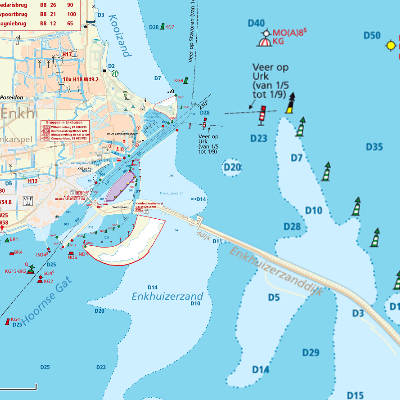 |
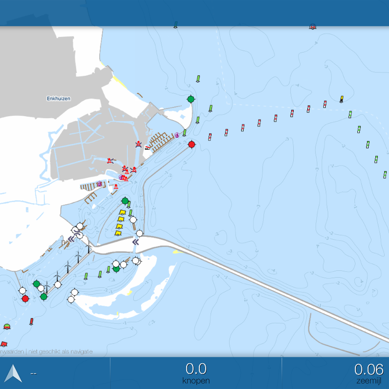 |

|
| Overzicht | 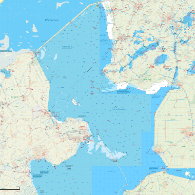 |
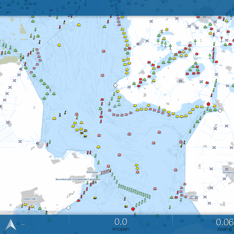 |

|
| Beschrijving | |||
| PC | http://www.promanent.com/waterkaart/ | ||
| Android | Betaald per week, maand of jaar in de Play Store | Gratis in de Play Store | |
| IPhone | Betaald per week (€4,99), maand (€9,99) of jaar (€38,99) in de App Store |
Gratis voor online gebruik. Kaarten downloaden voor offline gebruik kost €5,99 per jaar App Store |
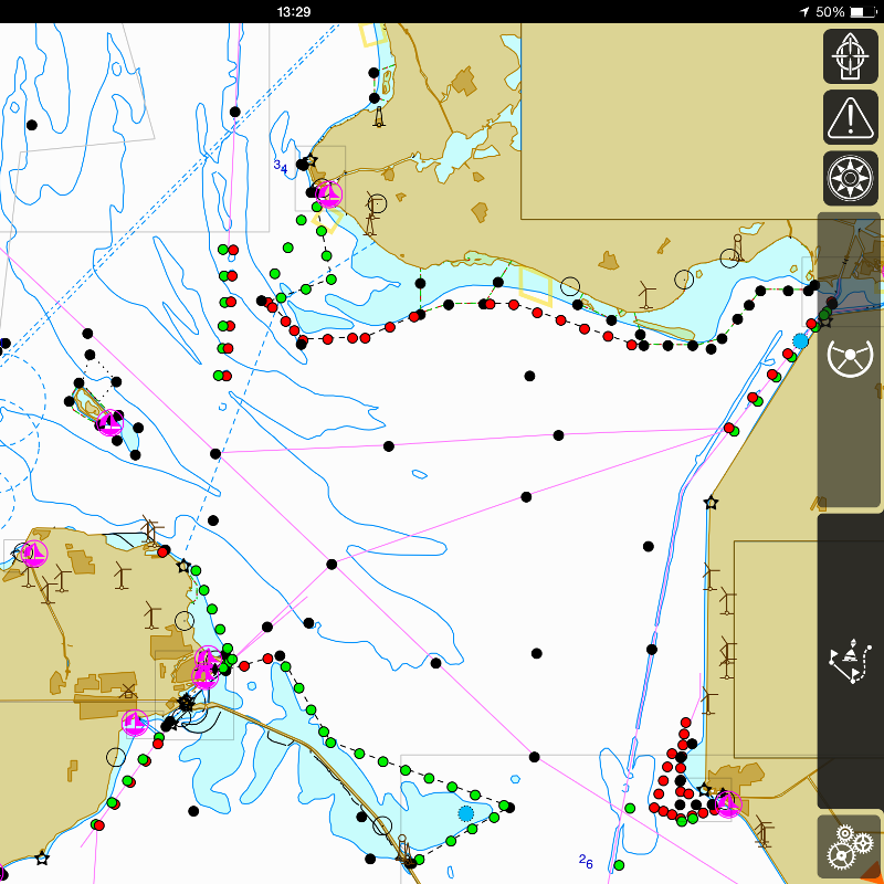
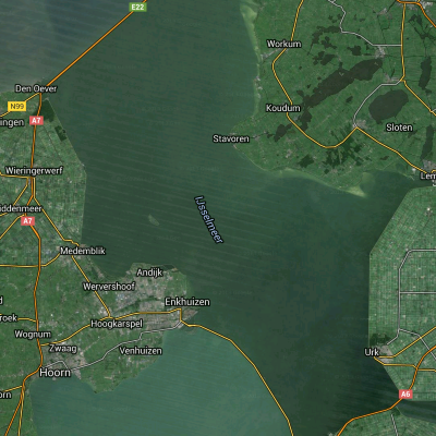
| Naam | RWS diepte ijsselmeergebied | iSailor | SeaMap |
| Enkhuizen | 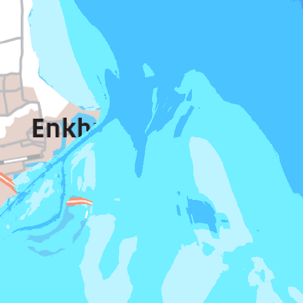 |
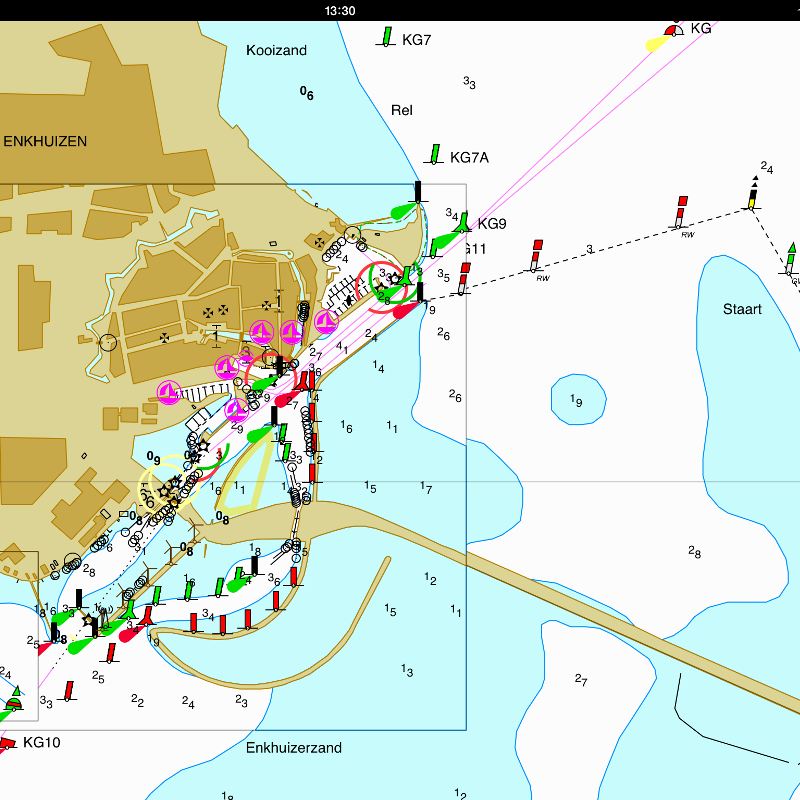 |
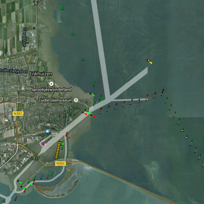
|
| Overzicht | 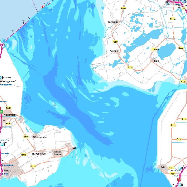 |
 |
|
| Beschrijving | Kaartlaag "ijsselmeergebied diepte 2013 (cm NAP)" toevoegen In andere programma's als Web Map Service: http://geoservices.rws.nl/ijsselmeergebied_diepte |
App is gratis, maar de kaartensets (bijv. Nederland+België) kosten €24,99 incl. onbeperkte updates |
|
| PC | Gratis via RWS Mapviewer of als WMS-laag in QGIS | ||
| Android | Voeg via de WMS toe aan Locus Map Free | ||
| IPhone | http://isailor.us/folios/index.htm#NSEA2000 |
Waddenzee
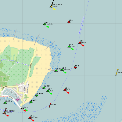
| Naam | RWS ENC | Navionics | OpenSeaMap |
| Haven Vlieland | 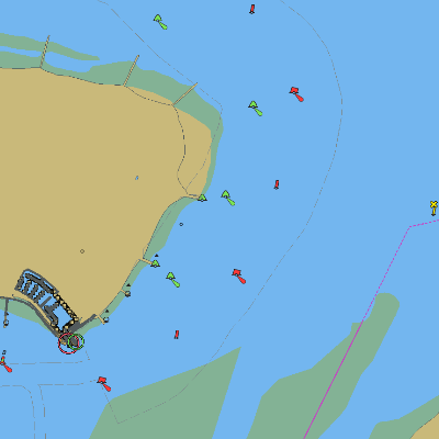 |
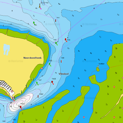 |
|
| Harlingen - Vlieland | 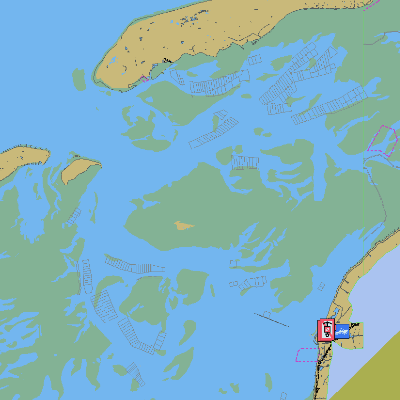 |
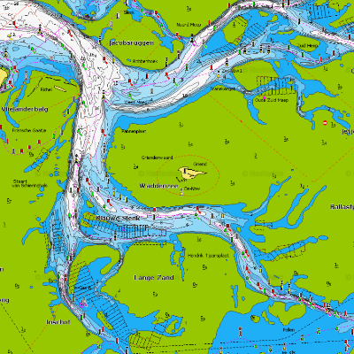 |
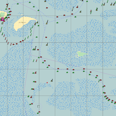
|
| Beschrijving | |||
| PC | Gratis via [3] en [4] | Gratis via [5] | Gratis via [6] |
| Android | |||
| IPhone |
| Naam | Freie Tonne | Stentec / 1800 | NV Verlag |
| Haven Vlieland | 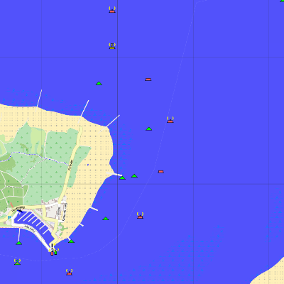 |
 |

|
| Harlingen - Vlieland | 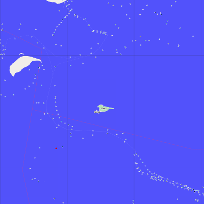 |
 |

|
| Beschrijving | [7] | ||
| PC | Gratis via [8] | ||
| Android | |||
| IPhone |
| Naam | RWS Laseraltimetrie hoogte platen | Vaarkaart | SeaMap |
| Haven Vlieland | 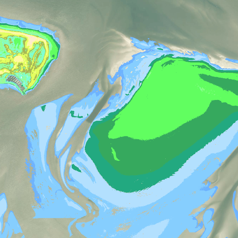 |
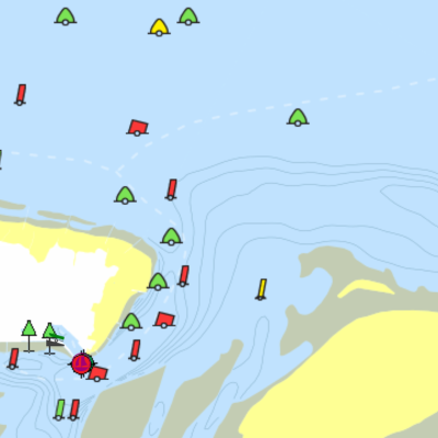 |
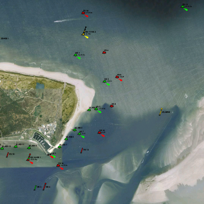
|
| Harlingen - Vlieland | 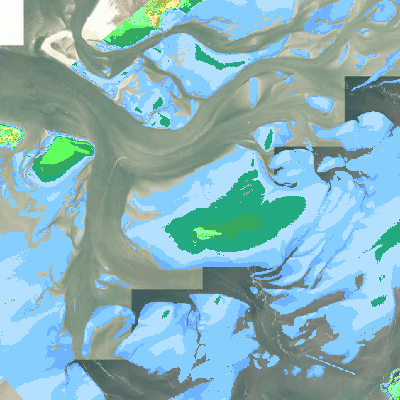 |
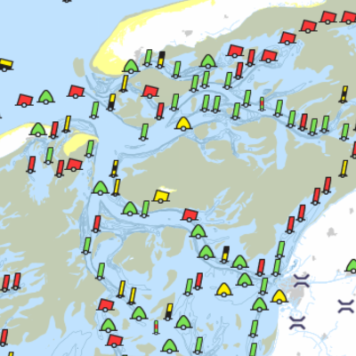 |
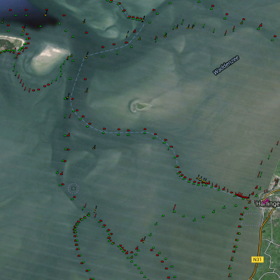
|
| Beschrijving | Kaartlagen hoogte_platen/* toevoegen In andere programma's als Web Map Service: http://geoservices.rws.nl/hoogte_platen |
||
| PC | Gratis via RWS Mapviewer of als WMS-laag in QGIS | ||
| Android | Voeg via de WMS toe aan Locus Map Free | ||
| IPhone |